When Google started the Google Earth Outreach project, it had little idea it would also turn out to be an air quality mapping project. But that is what happened. Although Google started this project in 2014, the studies are now showing useful results.
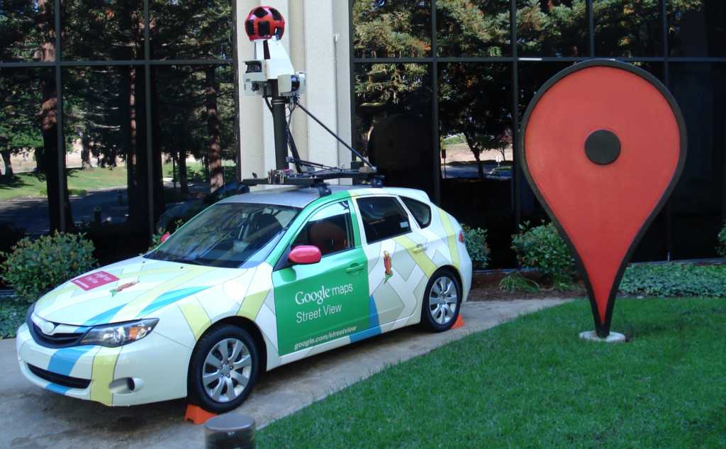
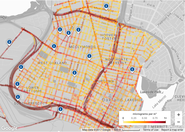
The air quality project maps local streets and measures pollution with the help of special equipment. The equipment is mounted on top of Google Street view cars that intake air samples from different streets. Then, the data is provided to users which can help them decide which routes to take while commuting. The project promises to improve the overall health of city population by giving city planners a better idea of how to build less polluted cities.
The mapped data can also used to measure toxic pollutants and greenhouse emissions. The machinery provided by Aclima equipment can measure nitric oxide, nitrogen dioxide, and “black carbon”. The only thing is, the project is limited to some areas of California right now.
The project is a joint effort of Google, Environmental Defense(EDF) and Aclima equipment. At present, the data gathered spans 3 million samples taken from 14000 miles. This data is then fed to Aclima researchers who simpify it and present it to users in a useful form.
Google employs its own fleet of Streetview cars for the project. And so, more area scanning is going to be difficult. However, if the EDF and other agencies come to Google’s help, we can see the program heading to other US cities.


